• 2022_10_01_Kedainiai_Mindaugo_Mikuleno_nuotr-39.jpg
  • Lietuvos_geografinis_centras_Ruosciai_Kedainiu.jpg
  • DSC_0180 – kopija.jpg
  • Lietuvos_geografinis_centras_Ruosciai_2.jpg
  • DSC_0197.jpg
  • Lietuvos_geografinis_centras_Ruosciai.jpg
  • 2022_10_01_Kedainiai_Mindaugo_Mikuleno_nuotr-38.jpg
  • 2022_10_01_Kedainiai_Mindaugo_Mikuleno_nuotr-51.jpg
  • 2022_10_01_Kedainiai_Mindaugo_Mikuleno_nuotr-36.jpg
  • 2022_10_01_Kedainiai_Mindaugo_Mikuleno_nuotr-43.jpg
  • 2022_10_01_Kedainiai_Mindaugo_Mikuleno_nuotr-34.jpg

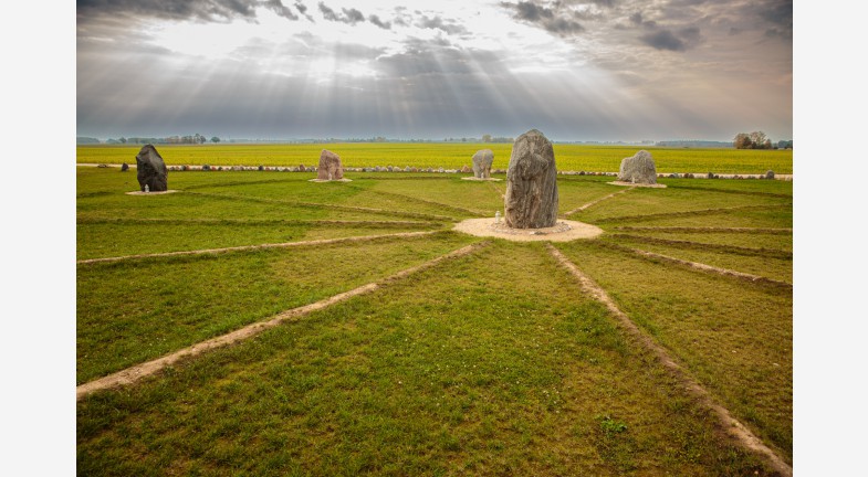
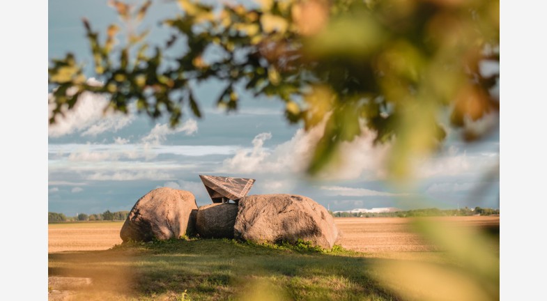
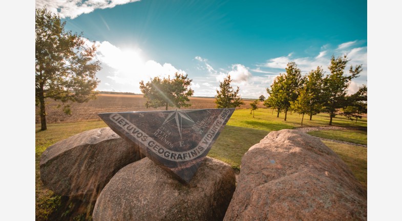
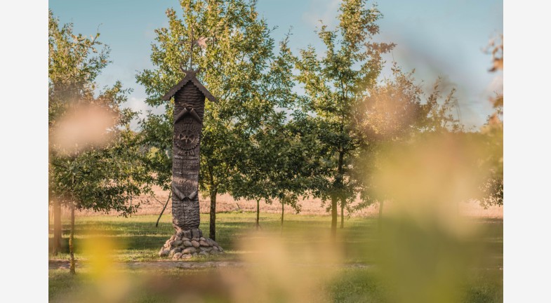
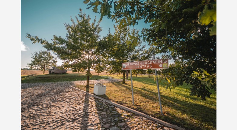
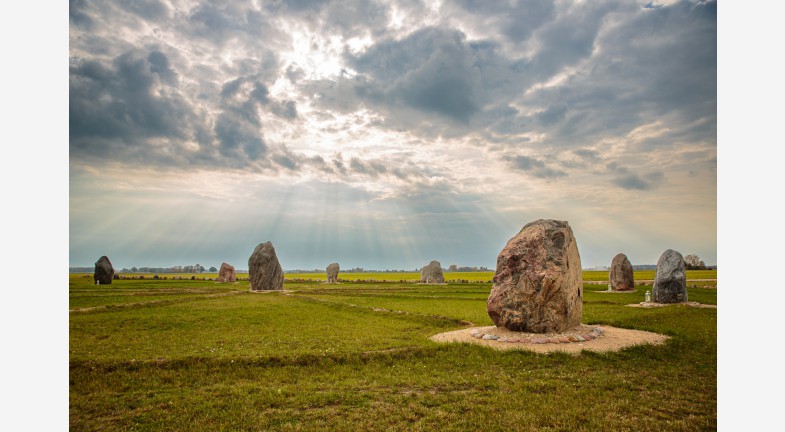
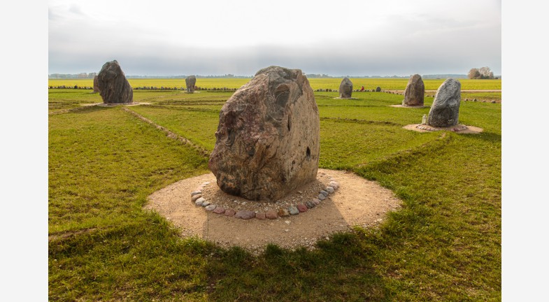
In 1995, the geographical centre of Lithuania (55°19' N and 23°54' E) was oficially determined to be located in Ruoščiai village and marked with a large field rock. Two more rocks symbolizing Žemaitija and Aukštaitija were braught here according to the project of architect Vytautas Kundrotas. A new sign was established here in 2009. A granite plate with carved coordinates of the geographical centre was placed on the rocks.


Address

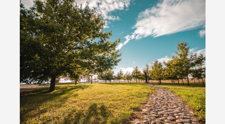
Ruoščiai village, Kėdainiai District


map
Geographic centre of Lithuania
Add to routeRemove from route
Business